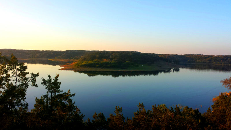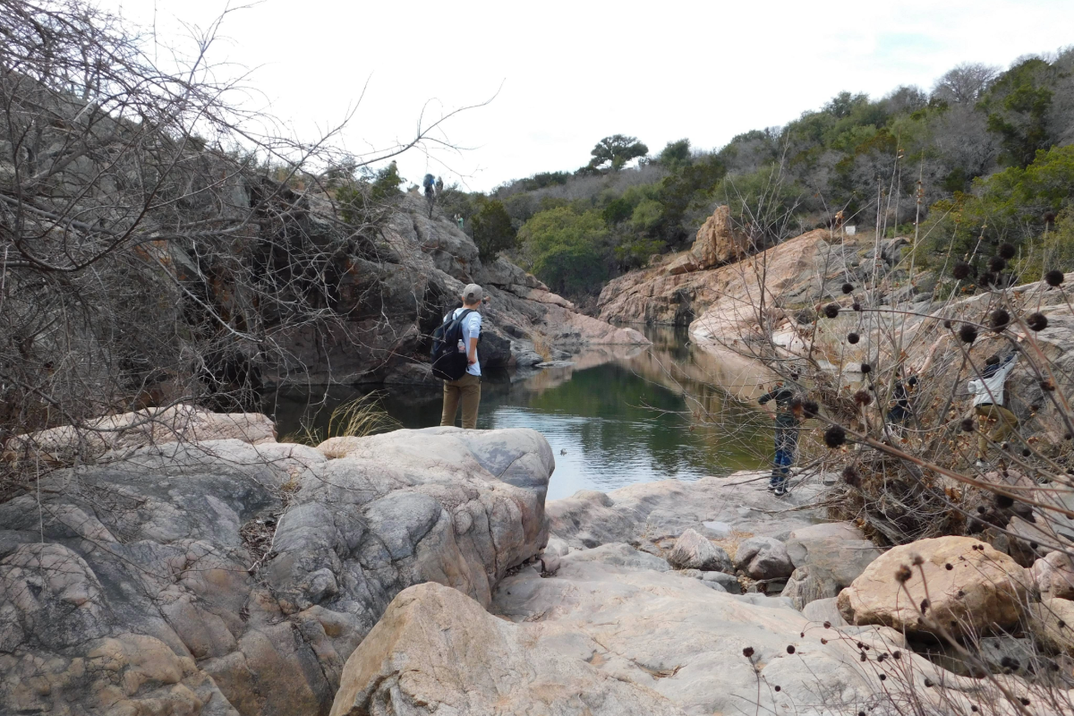
The Overlook Trail at Grelle Recreation Area, a Lower Colorado River Authority park on Lake Travis in Spicewood. Courtesy photo
Cool fall weather and mostly mild winters make October through February the perfect months to explore the Highland Lakes on foot. The area is a hiking hotbed for easy family outings or significant challenges.
Local hiking enthusiasts share several of their favorite trails.
BALCONES CANYONLANDS NATIONAL WILDLIFE REFUGE
Doeskin Ranch on FM 1174 is located about 1½ miles north of the intersection with Cow Creek Road and 2.3 miles south of the intersection with RR 1869.
Warbler Vista on RR 1431 is located about 1 mile west of Lago Vista.
Hikers from beginner to bold will find just the right trail at Balcones Canyonlands in eastern Burnet and western Travis counties, said Visitor Services manager Jennifer Brown.
“One of our best trails for experienced hikers is the Indiangrass Trail at Doeskin Ranch,” she said. “The best part of this trail is that you can see for miles into the Hill Country and really feel like you are in a remote wilderness.”
To get there, take the Rim Rock Trail up to the Indiangrass Trailhead, a total of 3½ miles. The Indiangrass portion is 1½ miles through prairie and forest.
“A great hike for a beginner to moderate hiker would be our Cactus Rocks Trail at Warbler Vista,” Brown added. “This moderate trail is shady and boasts picturesque views of Lake Travis.”
Cactus Rocks is an easy 1¼-mile trail that loops back to the two parking lots.
Holli Beckwith of Horseshoe Bay heads to the refuge for quick nature outings.
“When I only have a small amount of time, I love to go to the Creek Trail (at Doeskin Ranch),” she said. “Any season, I can find water in the creek and have time to chill, listen to the creek trickling over the rocks, observe the ever-changing greenery, lay down, and observe our Texas sky.”
The Creek Trail is just over a half-mile long. For a longer hike that’s not too rigorous, tack on the Pond and Prairie Trail, which adds a quarter-mile.
“Sometimes, you just need a half-hour to take in even a very little bit of blue sky, beautiful trees, and plants in every shade of green imaginable, and hear little critters and birds scurrying about you,” Beckwith said.
Rimrock Trail is the hardest trek in the refuge, but the panoramic Hill Country views at the top of a plateau make it worthwhile.
Go to fws.gov/refuge/balcones_canyonlands or call 512-339-9432.
INKS LAKE STATE PARK
3630 Park Road 4 West, Hoover’s Valley
Former Inks Lake State Park Superintendent Cory Evans recommends Devil’s Backbone Nature Trail. This moderate hike can be completed in 45 minutes at a leisurely pace. The trail is 1.2 miles long and is accessed from either the Wildlife Viewing Station or near Devil’s Waterhole.
“It traverses some scenic terrain, skirts the lakeshore in places, and takes you across Spring Creek,” Evans said.
Go to tpwd.texas.gov or call 512-793-2223.
LONGHORN CAVERN STATE PARK
6211 Park Road 4 South, Burnet
Nearby Longhorn Cavern State Park has a series of trails that are underutilized, mainly because the park is known more for its underground paths. Katie Raney, a regional interpretive specialist with the Texas Parks and Wildlife Department, hopes people will take a look at what’s above ground as well.
The trails are fairly short, so they’re great for a quick hike or killing time before exploring the caverns.
“The Karst Discovery Trail is about 0.6 miles long and moves in and out of the cedar forest onto rocky outcroppings,” Raney said. “It’s a great way to get close to the area’s limestone that’s usually buried underground. The Backbone Ridge Nature Trail is a good leg-stretcher while folks are waiting for their cavern tour.”
A side note: The trails are free to hike, while cave tours have a fee.
Go to visitlonghorncavern.com.
PEDERNALES FALLS STATE PARK
2585 Park Road 6026, east of Johnson City
Another hike Raney strongly recommends is Madrone Trail at Pedernales Falls State Park.
“The Madrone Trail is an opportunity to see a resident rare to this part of the Hill Country: the Texas madrone (tree),” she said. “(The trail is) a winding single-track trail that’s quiet and shaded.”
Native to Central America and the Southwestern United States, the Texas madrone is found in the Lone Star State only in West Texas and parts of the Hill Country. Multi-trunked, it can grow over 30 feet tall and has a peeling bark that reveals a smooth, red trunk. One of the few Hill Country groves of madrone can be found on the Madrone Trail, which is about 4.3 miles long. Hikers can make it shorter or longer with use of other intersecting trails.
Go to tpwd.texas.gov or call 830-868-7304.
ENCHANTED ROCK STATE NATURAL AREA
16710 RR 965, between Fredericksburg and Llano
Enchanted Rock offers quite a few spectacular trails, including one to the top of the rock. Park Superintendent Doug Cochran narrowed his favorites down to three — or tried to anyway.
“Well, they are all my favorite, but I am very partial to this park,” he said. “I do have three favorite trails, in no particular order.”
Summit Trail, which takes hikers to the top of Enchanted Rock, is by far the most popular trail with its exquisite views of the Hill Country. It is a little challenging for the less mobile, however.
Cochran also favors Turkey Pass, which has grade changes that also make it a challenge. The hike cuts through granite outcroppings between Little Rock and Enchanted Rock, ending at the Base Trail, also a Cochran recommendation.
The Base Trail provides a close view of the Summit and Echo Canyon. Many of the area’s unique geologic features can be viewed on this trail. The Base Trail’s elevation and grade add to a challenging hike.
For families, Cochran recommends the Loop Trail, which is 5.4 miles if you hike the whole thing. It is lightly trafficked and best used from September until March.
The newly opened Interpretive Trail is a half-mile loop at the base of Little Rock, just next to Enchanted Rock. It’s a great way to stretch your legs or give small children a taste of Hill Country wildlife without embarking on a long trek.
Go to tpwd.texas.gov or call 830-685-3636.
LCRA PARKS
The Lower Colorado River Authority has a number of parks from the northwest of Lake Buchanan to southeast Lake Travis with trails for horseback riding and mountain biking. A couple stand out for outstanding hiking.
Grelle Recreation Area, 640 CR 412 in Spicewood, has two trails that make for great hikes. First, the Overlook Trail, which stretches 0.7 miles, includes sweeping views of a relatively private cove on Lake Travis. It’s an easy trail, suitable for almost all ages. It jumps off from Cottontail Loop and Chaparral Run. You can also access it from the lake by kayak. Whether by land or water, visitors still have to pay park entrance fees. Mustang Ridge is another moderate trail that’s just under a mile and half in length. This winding trail stretches from the Lake Travis waterfront (not far from the Overlook Trail’s end) back into the body of the recreation area ending at the Fox Run Trail.
As far as LCRA parks and trails go, Mulesehoe Bend Recreation Area’s Great Escape Trail is one of the most well-known, and for good reason. The 6.5-mile multi-use trail winds through cedars and oak trees — a great escape indeed. Muleshoe Bend is located at 2820 CR 414 in Spicewood.
Go to lcra.org/parks.
If you’re interested in exploring the state parks, we recommend purchasing a Texas State Parks Pass, which is good for a year from purchase. For $70, you get unlimited free entry to state parks for you and your guests as well as other discounts. It can be purchased online at tpwd.gov or in person at many state parks.


