The Highland Lakes area is named after arguably its best features. These bodies of water, which run along the Colorado River in the Texas Hill Country, draw visitors from near and far for some of the best fishing in the state, boating adventures, and days of relaxation.
The upper Highland Lakes chain, managed by the Lower Colorado River Authority, includes Inks Lake, Lake Buchanan, Lake LBJ, Lake Marble Falls, and Lake Travis. (The chain’s sixth lake is Lake Austin in the capital city.)
Inks Lake

The second-smallest of the Highland Lakes is deep with adventure. Inks Lake runs through beautiful Inks Lake State Park near Burnet, where you’ll find picturesque, well-marked hiking trails with granite outcroppings. You can fish from the shore in the park at several spots or launch your boat from its ramp.
A run-of-the-river lake, Inks covers 831 acres and has a maximum depth of 60 feet. Its water level fluctuates by about a foot a year. At 4.2 miles long and 3,000 feet wide, it’s the shortest of the first five lakes on the Colorado River chain.
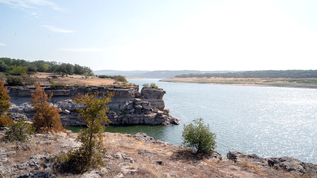
Lake Buchanan
Anchoring the Highland Lakes chain in the north, Lake Buchanan is an angler’s paradise for catfish, largemouth bass, white bass, and hybrid striped bass, the most popular fish because it’s restocked every year. Enjoy other recreational opportunities, including paddleboarding, kayaking, sailing, and eagle spotting.
The Lower Colorado River Authority has three parks on the lake: Cedar Point Recreation Area, Black Rock Park, and Canyon of the Eagles. Llano County operates a small park with a boat ramp adjacent to Black Rock Park.
On the east side of the lake, launch your boat from Burnet County Park, located off of RR 2341 in Silver Creek.
Lake Buchanan is the result of Buchanan Dam, which was built by the LCRA. The longer-than-2-mile dam was completed in 1939, making Buchanan the first of the Highland Lakes. With 22,333 acres of water surface stretching over Burnet and Llano counties, Buchanan is also the largest lake.
Lake LBJ

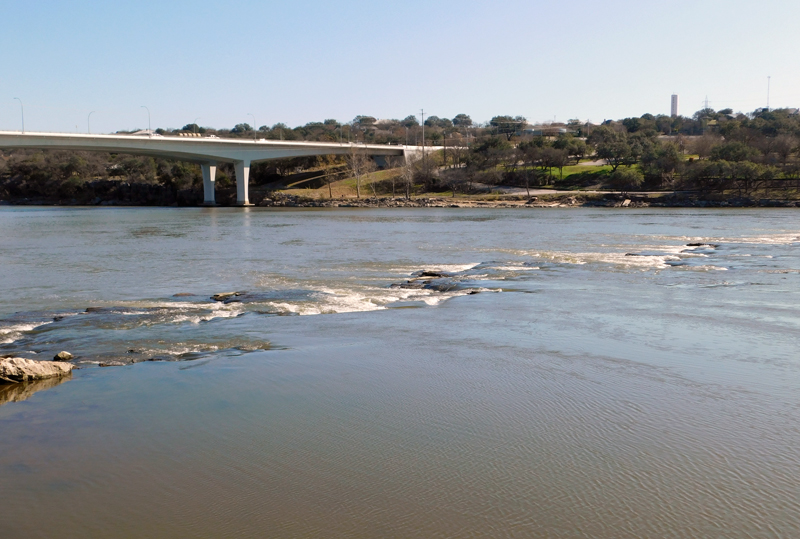
Lake LBJ begins in Kingsland and winds along the Colorado River footprint, which is joined by the Llano River, for 21 miles to Horseshoe Bay. With 6,449 acres of water surface, it’s perfect for boats with sails or motors, personal watercraft, and fishing for largemouth bass, white bass, crappie, and catfish. Since it’s a run-of-the-river lake, you’ll find a fairly stable water level except during extreme rain events.
Lake access for boaters is easy with two public boat ramps: the Wirtz Dam/Cottonwood Shores ramp at 3729 Lakeview Drive off of FM 2147 and the ramp at Kingsland Community Park, 727 Williams St. in Kingsland. You’ll also find ramps in Sunrise Beach Village, Granite Shoals, and Honeymoon Ranch campground off of RR 1431 between Marble Falls and Granite Shoals.
Lake Marble Falls

At 611 acres, Lake Marble Falls is the smallest of the Highland Lakes but big on fun, including fishing, paddleboarding, and swimming. Dip your toes or jump in at Lakeside Park, 305 Buena Vista Drive, which features a sandy beach.
The lake is mostly steady at 737 feet above sea level and is perfect for smaller watercraft.
Lake Marble Falls is the backdrop of some of the biggest events in the city, including the July 4 fireworks show and Walkway of Lights at Christmas.
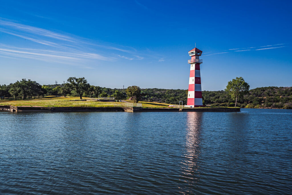
Lake Travis
Lake Travis, which stretches from Marble Falls through Spicewood to Austin, brings out everyone’s adventurous side. You’ll find a lot to explore, but as it fluctuates due to weather and downstream releases, be cautious while boating, especially on the lake’s upper end.
Lake Travis was formed in 1942 when the Lower Colorado River Authority built Mansfield Dam on the western edge of Austin. One of two Highland Lakes reservoirs, Travis spreads across 19,297 acres, covering almost 30 square-miles when full. The lake has a maximum depth of 190 feet. In that space, you can speed across the water or just ease along, whatever floats your boat.
Up and down Lake Travis are several parks that offer public access. Many have boat ramps. For a list of LCRA Parks on the lake, visit LCRAparks.com.